Mondragó Natural Park lies in south-east Mallorca, about 5 km from the town of Santanyí (guide in Spanish). Protected since 1992, it’s the sort of place where a single walk takes you through a pine wood, out to the cliffs and down to a white-sand cove. Behind the beaches, the ponds at s’Amarador and ses Fonts de n’Alis provide a place for waterbirds and migrating birds to rest and feed.
There are five easy waymarked walks. You can pick one or link several in a day. On a first visit, we like to walk down past the ses Fonts de n’Alis viewpoint and then follow the sa Guàrdia d’en Garrot trail from the beach towards Caló des Borgit.
How to get to Mondragó and where to park
Ses Fonts de n’Alis, via Portopetro. This is where we usually park. The information centre is next to the car park and walk 1 starts here. If you’re driving from Santanyí, follow signs for Portopetro and Cala Mondragó. Signs for s’Amarador take you to the other side of the park.
S’Amarador, Ca sa Muda car park. This is the most convenient starting point for walks 3, 4 and 5. From the car park, walk down towards the beach. A path by the sea connects s’Amarador and ses Fonts de n’Alis, so you can link walks without moving the car.
The Balearic Government says that both car parks charge during the summer season and are free outside the tourist season. The information centre at ses Fonts de n’Alis is usually open from 9 am to 4 pm, with some public holiday exceptions. If you’re coming without a car, the seasonal 521 bus runs between Cala d’Or and Cala Mondragó via Portopetro. Check the Cala Mondragó stop on the TIB website for your travel date.
Five walks in Mondragó Natural Park
The distances and times below are the park’s published figures for each trail. Allow extra time for linking routes, walking back the same way or stopping at the viewpoints. The official map shows how the paths join up.
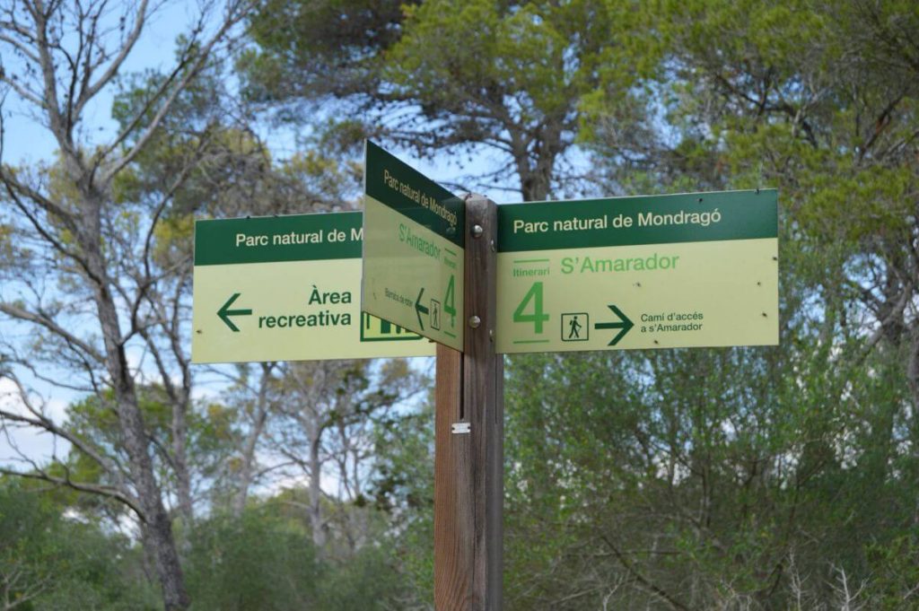
1. Ses Fonts de n’Alis viewpoint
640 m · 15 minutes · From the car park to the beach. With the entrance behind you, look for the opening towards the far left of the car park. The path leads downhill through the woods to a viewpoint over the pond just behind the beach.
It’s a short walk and an easy one to combine with walk 2. To return to the car, either retrace your steps or take the paved road up from the beach. Official route leaflet (PDF)
2. Sa Guàrdia d’en Garrot loop
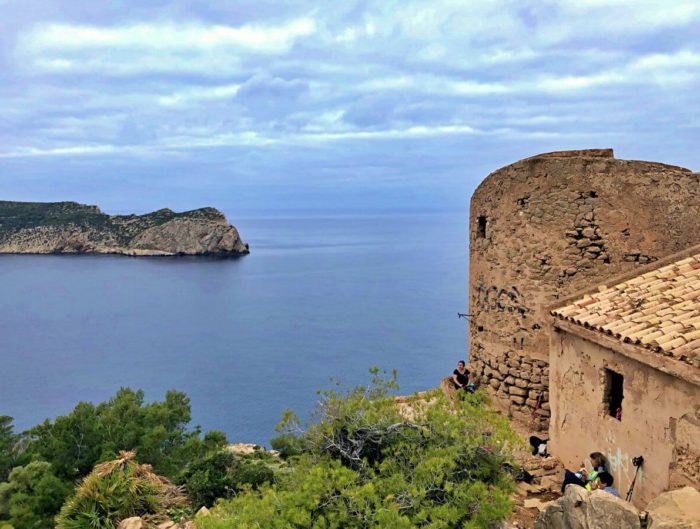
940 m · 25 minutes · Circular from ses Fonts de n’Alis. Facing the sea from the beach, look for the start on your left. The path alternates between pine woods and coast, with three viewpoints and an old machine-gun emplacement visible from the trail.
You can make a short detour to Caló des Borgit, also known as Caló des Burgit, a small cove tucked among the pines. On the way back, you pass close to the picnic area and can take the paved road to the car park. With stops at the viewpoints and the detour, it’s easy to spend more than half an hour here. Official route leaflet (PDF)
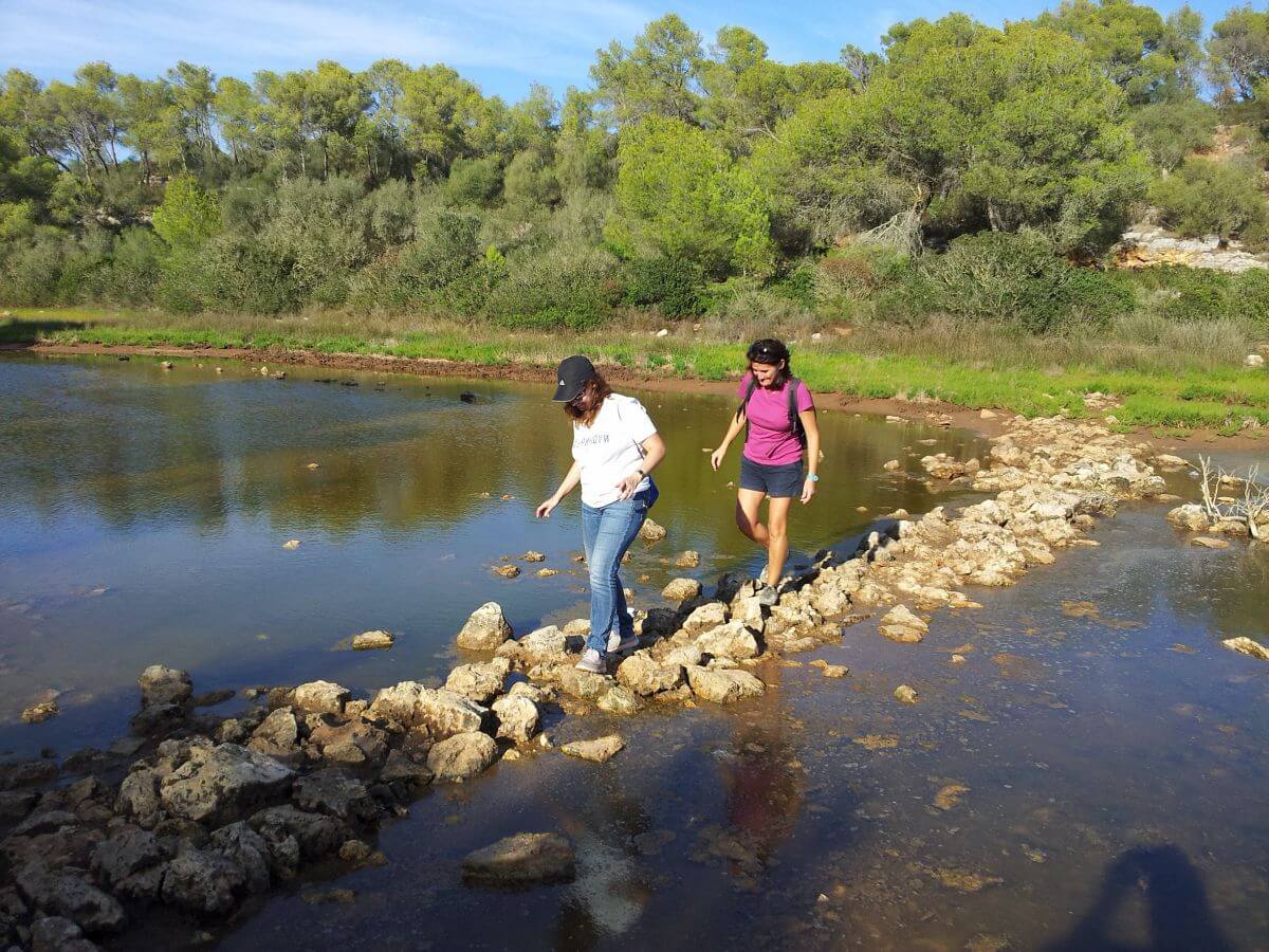
3. Sa Punta de ses Gatoves
720 m · 25 minutes · Circular near s’Amarador. From Ca sa Muda, head towards the beach until you see the trail sign. You start among the pines and soon reach the coast. Look for the viewpoint, the old lime kiln and the pines that grow almost horizontally by the sea.
The path brings you back to the approach to s’Amarador. From there, you can return to the car, go down to the beach or walk on to ses Fonts de n’Alis. The accessibility guide for Sa Punta de ses Gatoves has more detail on the terrain. Official route leaflet (PDF)
4. S’Amarador
1.1 km · 30 minutes · From Ca sa Muda towards the beach. The start is signposted on the left, a short way from the car park. The path passes through pines, junipers and wild olive trees before rejoining the beach access, which you can follow back up to the car park.
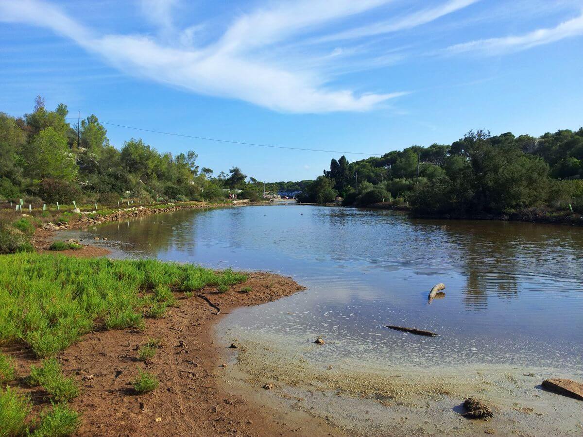
Our favourite part here is the s’Amarador stream and the pond it forms before reaching the sea. The water level changes over the course of the year. Official route leaflet (PDF)
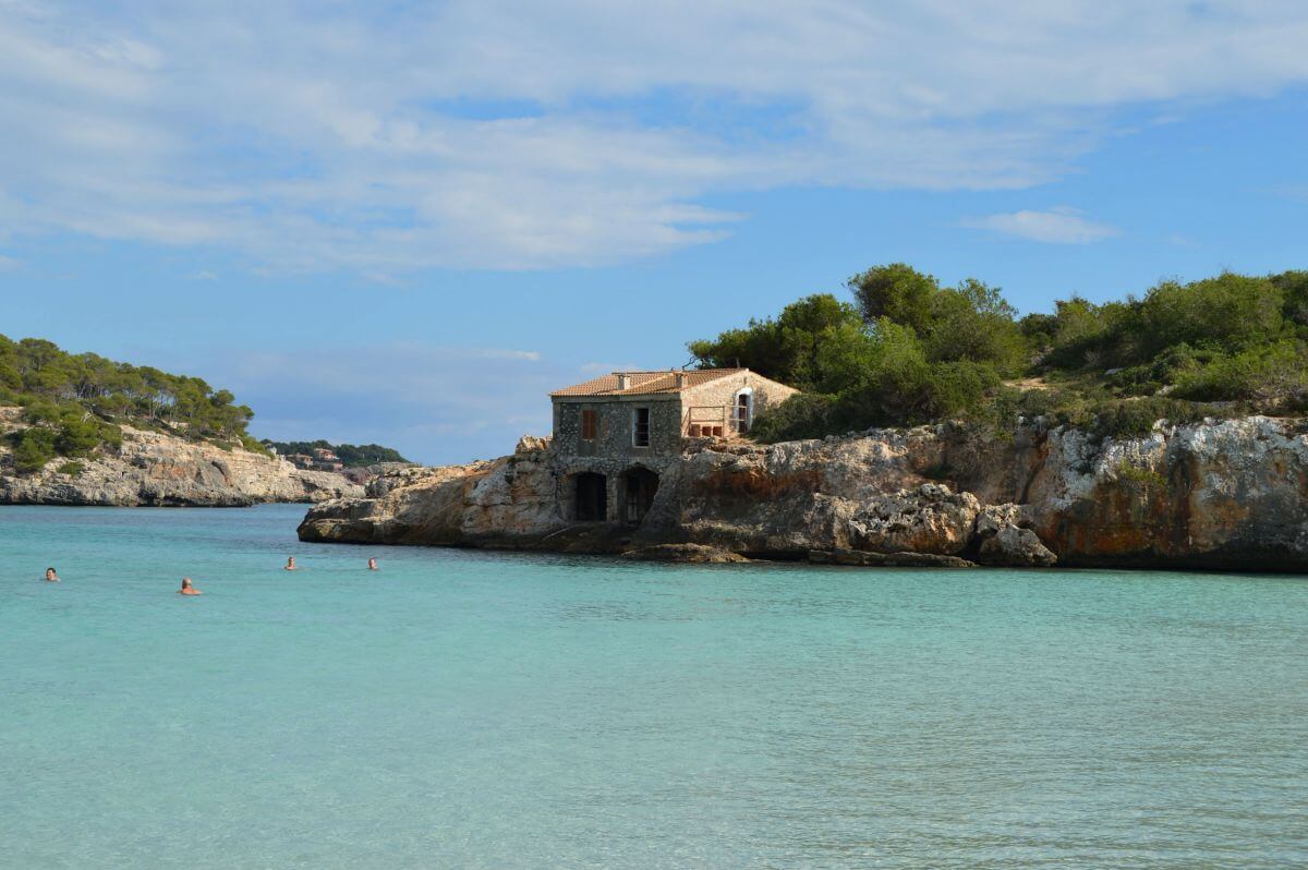
5. S’Hort d’en Metge
1,164 m · Up to 60 minutes according to the park · From s’Amarador beach. Walk down from Ca sa Muda and look for the start on the side of the beach nearest the coastal path to ses Fonts de n’Alis. The route leads inland through woods and former farmland.
Look out for a traditional waterwheel, a safareig or irrigation pond, and stone huts. The more open section passes fields with almond trees. You can finish the walk by returning to the beach and then to the car park. Official route leaflet (PDF)
Picnic areas and accessibility
For a meal in the shade, we usually choose ses Fonts de n’Alis, the larger picnic area. There’s a smaller one at s’Amarador. Both beach areas have tables and public toilets. At ses Fonts de n’Alis, bars and restaurants are generally open in season. If you’re picnicking, bring sandwiches or food prepared at home. The park’s visitor rules says fires are prohibited and asks visitors to take their rubbish away.
With a pushchair, the easiest option is the paved approach to ses Fonts de n’Alis or a stroll around the picnic area. For the trails, which include dirt and rocky sections, we prefer a baby carrier. The information centre can advise on suitable routes and arrange free use of a Joëlette all-terrain wheelchair, subject to volunteer availability and at least three weeks’ notice. Call +34 971 17 65 02.
Staying overnight at Can Cano
Can Cano is a former stone hut in Mondragó, restored as a basic refuge for four people. Bring your own bedding. The official IBANAT page links to the booking system. We also cover it in our guide to mountain refuges in Mallorca.
Walks at a glance
You might also like