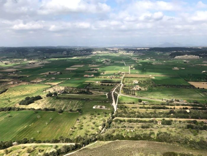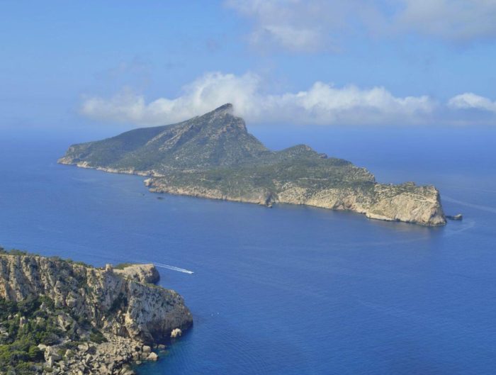
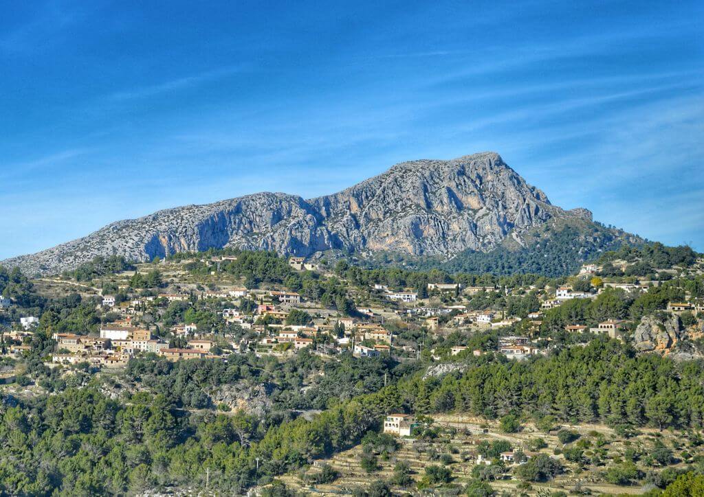
The walk to Puig de na Bauçana starts close to the village of Galilea. It’s a short route to a summit with 360-degree views across western Mallorca and the Serra de Tramuntana, including Puig de Galatzó. You can even see the Malgrats islets.
Some older residents of Galilea know the mountain as «the gorilla» or «King Kong». At night its dark outline resembles a gorilla’s back.
We met a delighted four-year-old on the way who had made it to the top. The first two thirds are the easiest. The final stretch is steeper and very rocky, though the whole ascent can take less than an hour.
Walking to Puig de na Bauçana
Step 1. Where to park
The walk starts at kilometre 8.3 on the Ma-1032 from Puigpunyent to Galilea, 1.4 km before Galilea. Look for a green gate and a small dirt pull-off with room for about five or six cars.
If there’s no space, park in Galilea. That adds about 25 minutes each way on foot along the same road.
Step 2. Starting the trail
Beyond the green gate is a signposted public path to Calvià, a longer walk of about two hours each way.
Look for the large board showing several routes. Beside the stone wall there’s a smaller green sign and a wooden post with an arrow. Take the path to the right.
Several paths head towards the summit and the route is poorly signposted, so it’s easy to go astray. Following the steps below, we reckon on about 50 minutes for the climb.
Step 3. Reaching the next gate
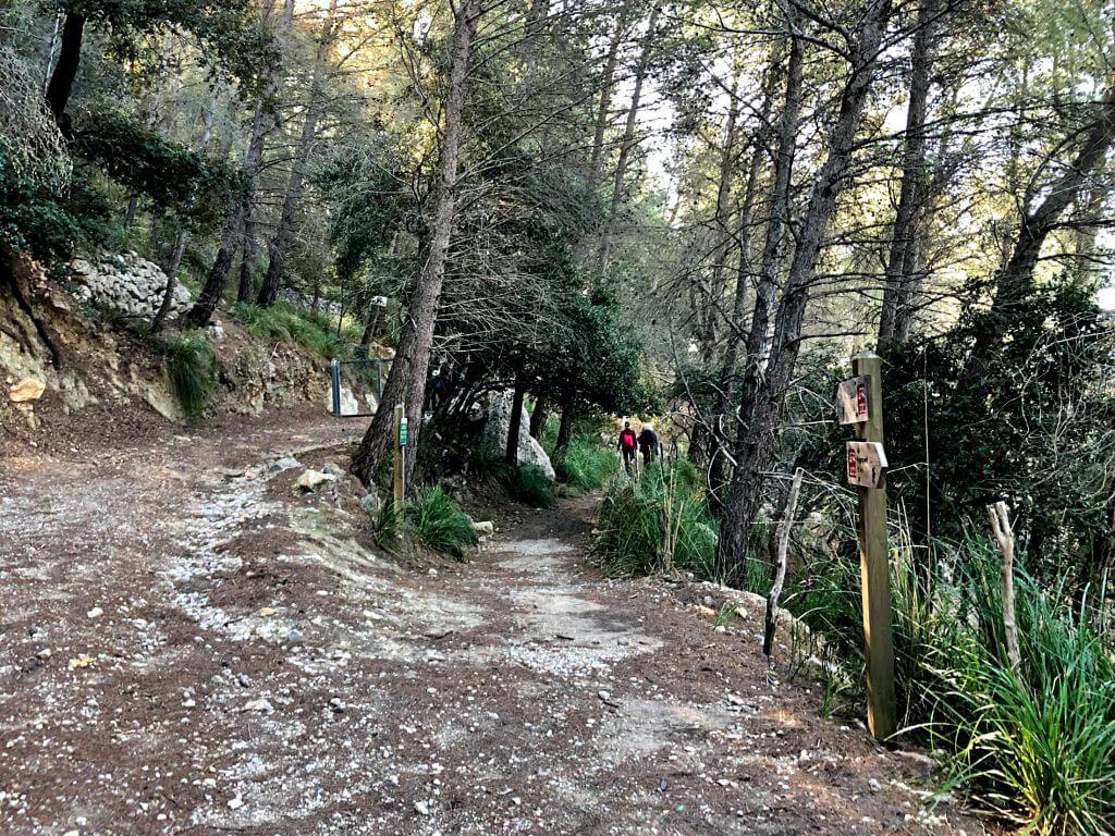
Follow the path straight uphill for about 10 to 15 minutes until you come to a fork. On the way up you’ll have a view of Galilea.
The signposted path to the right leads to Calvià. Take the left fork uphill towards the next gate. When we did the walk, the passage was on the right-hand side of the gate, beside a private hunting reserve sign. Follow the signs currently in place and turn back if the passage is closed.
Step 4. Keep left at the next fork
A few metres into the climb, the path forks again. Keep left. On the right, a sign on a tree indicates that you can’t continue that way.
Step 5. Reaching the small clearing below the summit
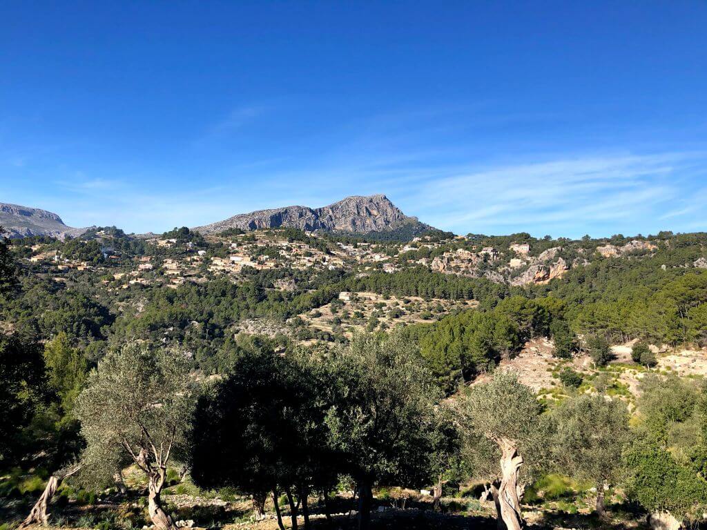
On the way up, you’ll pass an old lime kiln, a familiar sight in the Serra. At a bend, a small clearing on the left makes a good spot to photograph Galatzó and Galilea.
A few minutes further up, you’ll reach the small clearing. A little way off to the left are the base of a charcoal-burning platform and a well-preserved charcoal burner’s hut. These are your landmarks for the next turn.
Step 6. The final climb to the summit
From the clearing, go straight on, bearing slightly left. The path narrows and forks again. Take the left fork for the third time to begin the climb to the summit.
The right fork leads to Pla de Son Cortei, a much larger clearing that you can see from the top.
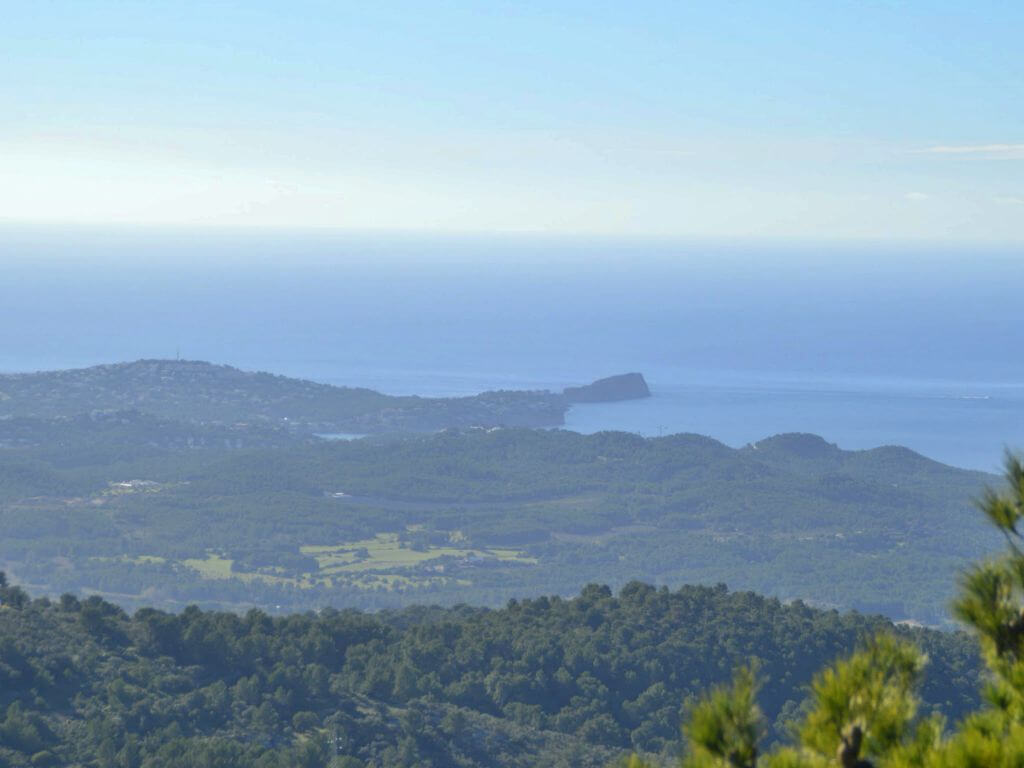
This is the steepest stretch and the hardest for younger children. You may see trees brought down by storms. When we did the walk, one lay right across the path. After about 20 minutes you reach the ridge and the views open out. Continue to the white pillar, a triangulation point that marks the highest point of the walk.
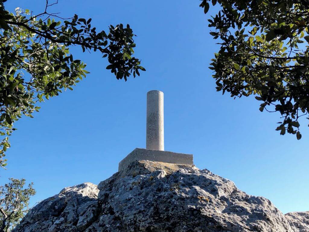
There’s one more surprise for the children: a little nativity scene tucked among the rocks. We’ll leave its exact location for you to discover.
Return the same way.
The summit pillar was installed in 1984, according to the Puigpunyent Town Council’s list of triangulation points.
Walk details
| Area | Puigpunyent and Galilea, Serra de Tramuntana. |
| Suggested age | From around 4 years old, for children used to rocky trails. |
| Start | Green gate on the Ma-1032 at kilometre 8.3, 1.4 km from Galilea. |
| Difficulty | Easy for the first two thirds. Steep and rocky final stretch. |
| Route type | Out and back along the same path. |
| Walking time | Around 100 minutes from the green gate, plus stops. |
| Parking | Small pull-off at the start. From Galilea, allow around 25 minutes each way along the road. |
| Facilities | No facilities on the walk. |
| Pushchair or baby carrier | Unsuitable for pushchairs. Use caution with a baby carrier. |
You might also like