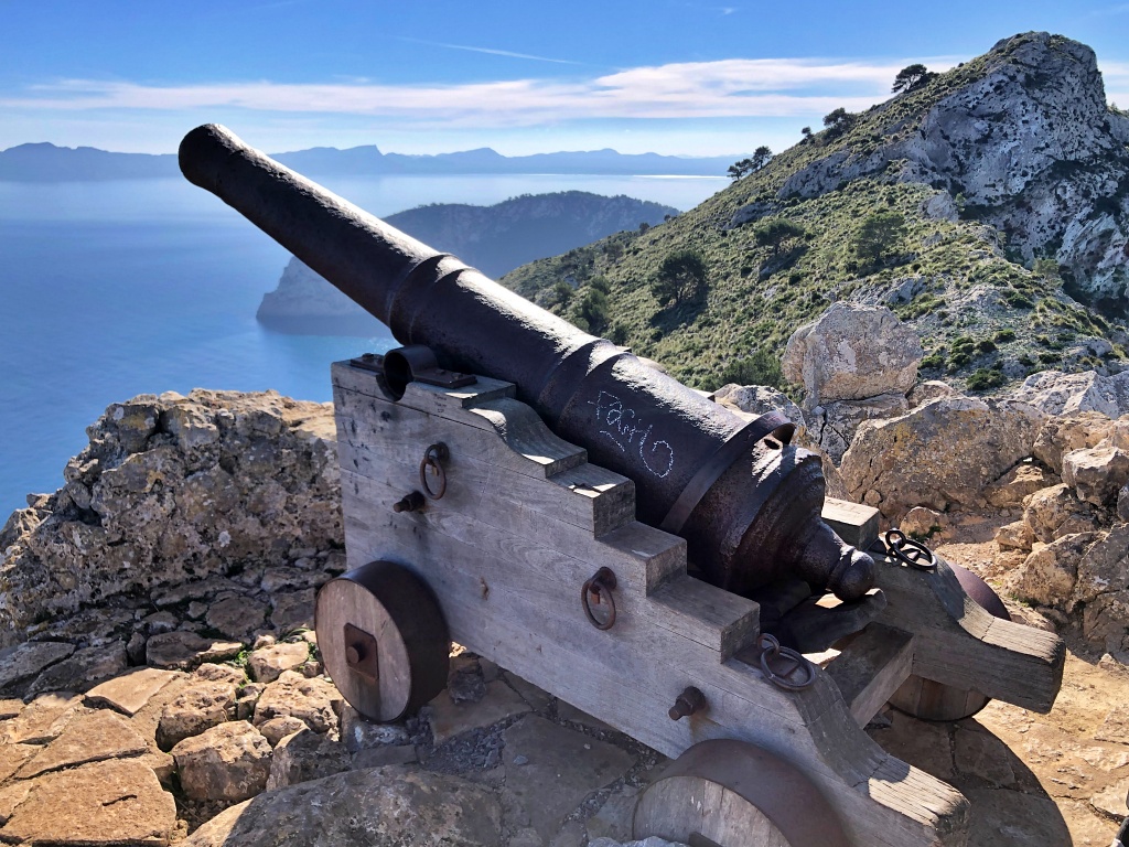
Penya des Migdia, also known as Penya Rotja, is a 354 m peak on the La Victòria peninsula in Alcúdia. The hike starts at the hermitage and takes you past views of Pollença Bay, through a fortified stone passage and up a rocky scramble to the summit.
It’s a short hike with narrow stretches above steep drops, and you’ll need to use your hands on the final ascent. If you’re walking with children, think about their experience and how they cope with exposed terrain. For an easier outing, we’d stop at Ses Tres Creus.
Getting to Ermita de la Victòria and finding the trail
Start at the car park by Ermita de la Victòria. From Alcúdia, drive through Mal Pas and past s’Illot beach and the La Victòria hostel. The linked guides are in Spanish.
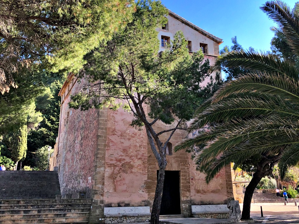
About the hermitage. The chapel of Mare de Déu de la Victòria has thick walls that give it a fortified appearance. It stands about 7 km from Alcúdia.
Inside, a barrel vault covers a single rectangular nave with three bays and three shallow chapels on either side. Miquel Riutort made the Baroque altarpiece in the mid-18th century.
The wooden niche in the altarpiece houses a painted Gothic carving of Our Lady of La Victòria, dating from the 15th century.
Local tradition credits the Virgin with protecting Alcúdia during the Revolt of the Brotherhoods in 1522 and a corsair landing in 1551.
There is a guesthouse above the sanctuary, with its entrance at the back of the building.
La Victòria’s festivities take place in early July. Traditions include walking up from Alcúdia, folk dancing and an offering of small bunches of chamomile.
From the car park, take the track uphill towards Talaia d’Alcúdia and Collet des Coll Baix. The downhill sign points to the La Victòria campsite. The Talaia is the highest point on the peninsula.
The track is steep and stony. As you climb, the hermitage and the Mirador de la Victoria restaurant are on your left.
Ses Tres Creus
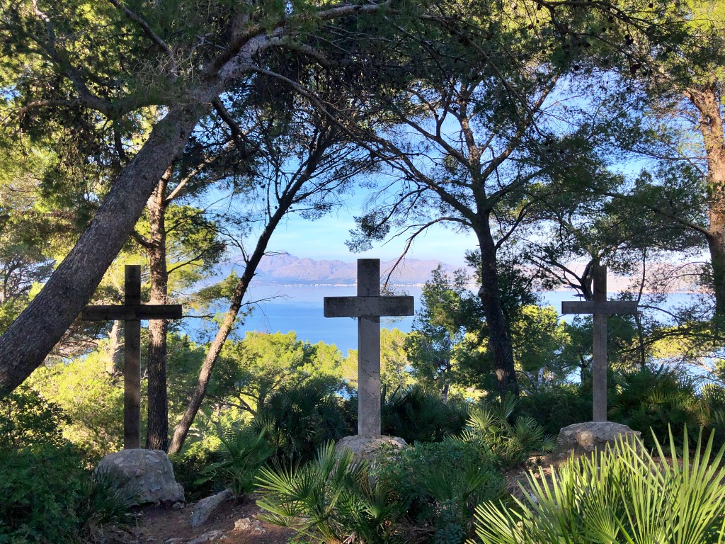
Go through the barrier and, after a few minutes, look for the sign to Ses Tres Creus. This is a good spot to stop for the first views.
In the clearing you’ll see two wooden crosses and one stone cross. According to local tradition, this is where the statue now kept in the sanctuary was found.
Rejoin the track and walk uphill for another 10–15 minutes or so. At the junction, leave the route to the Talaia and take the uphill path to the left, beside the wooden handrail.
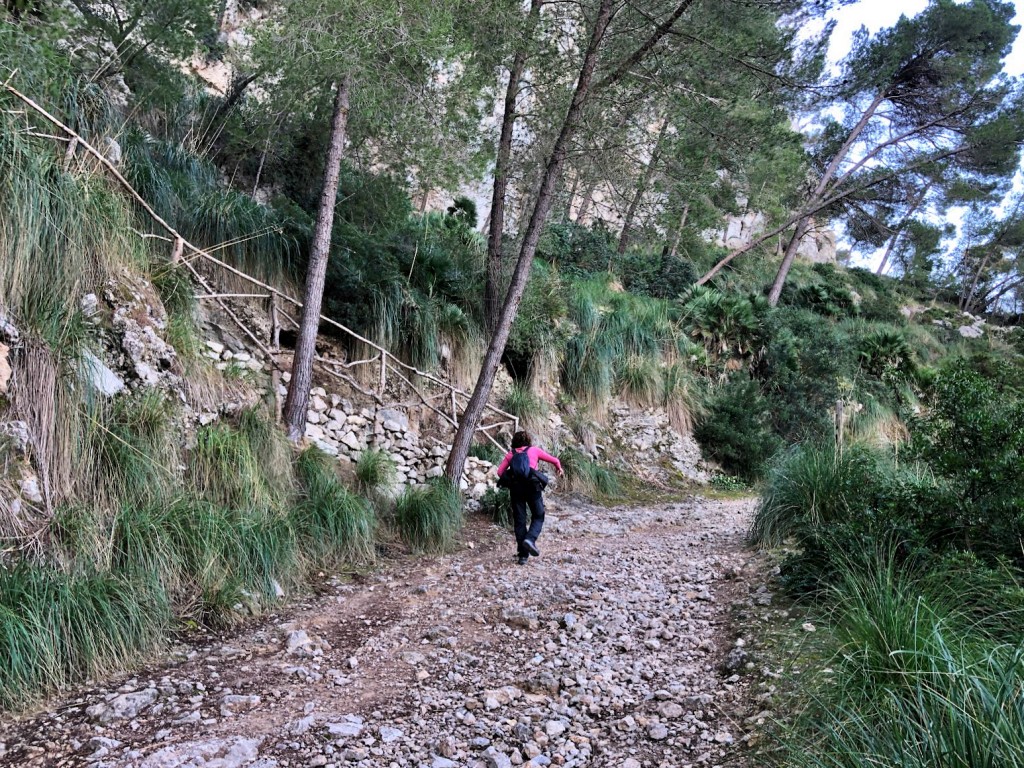
The route gets trickier from here. Children tackling this section need hiking experience, good balance and close supervision.
The path skirts the hillside and narrows in places, with unprotected drops beside it. Turn back if anyone in your group feels uncomfortable.
On your left, the views open out over Pollença Bay, the Formentor peninsula and part of the Serra de Tramuntana.
The stone tunnel and chain-assisted passage
A short stone tunnel built as part of the old defences takes you through the rock to the foot of Penya des Migdia.
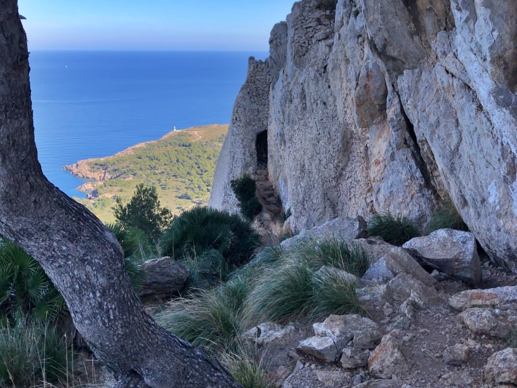
The path narrows again just beyond the tunnel. There’s a chain attached to the rock to hold on to, but the path is still exposed. It leads to a small ledge with remains of the fortifications that guarded the coast against corsairs and pirates (in Spanish).
Records mention a lookout here in the 16th century. Artillery was planned in the early 17th century. Look for the remains of a small shelter, a cistern and a furnace used to heat cannonballs.
From here you can see Cap Pinar, where access is restricted because it’s a military area, and the Formentor peninsula to the left.
The ledge is a place to pause and decide whether to continue. The climb beyond it is the most demanding part of the hike.
The summit scramble and Canó des Moro
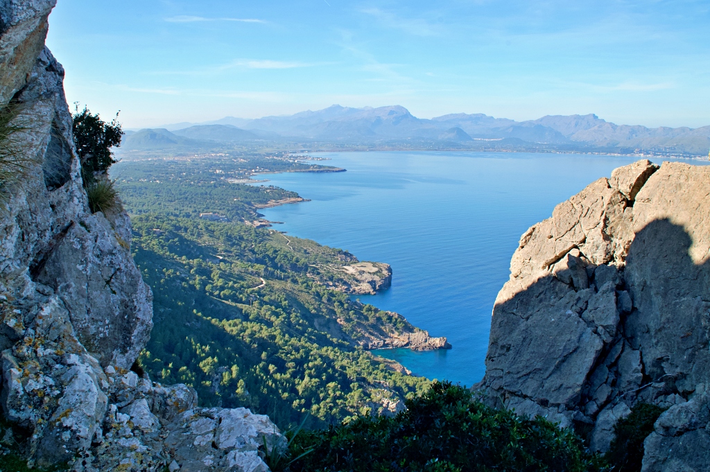
From the ledge, a steep, rocky slope leads to the summit.
The path becomes hard to make out. On our visit, blue dots painted on the rock helped us find our way up and back down. We used our hands in several places.
You may come across goats on the climb. Give them space and avoid feeding or touching them.
At the top stands the cannon known as Canó des Moro. According to the Spanish Association of Friends of Castles (in Spanish), the difficult terrain delayed its arrival at the summit until 1630.
From the summit you can see Cap Pinar, the bays of Alcúdia and Pollença, Formentor, part of the Serra de Tramuntana, the hills of Artà and the Talaia d’Alcúdia. On a clear day you may even see Menorca.
Return the way you came. It took us about an hour to get back to the car park. Allow yourself plenty of time on the descent, especially on the rocky sections.
There are benches outside the hermitage where you can sit down after the walk.
Penya Rotja route facts
You might also like