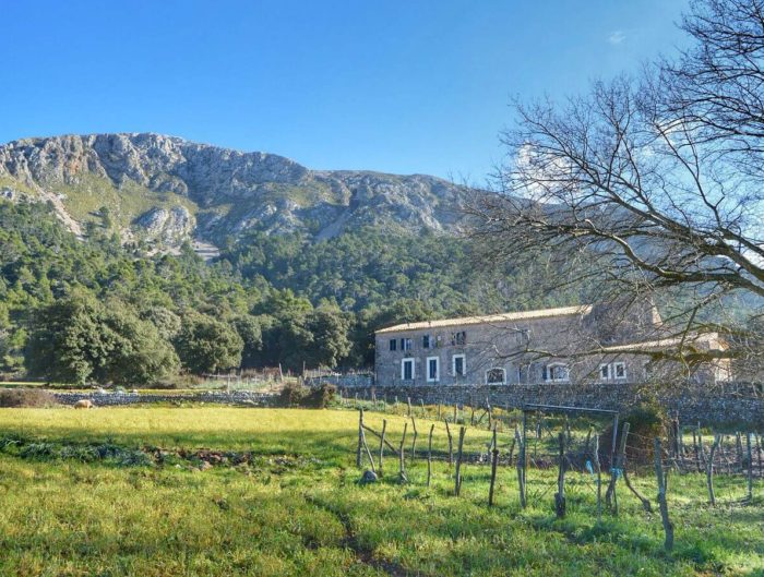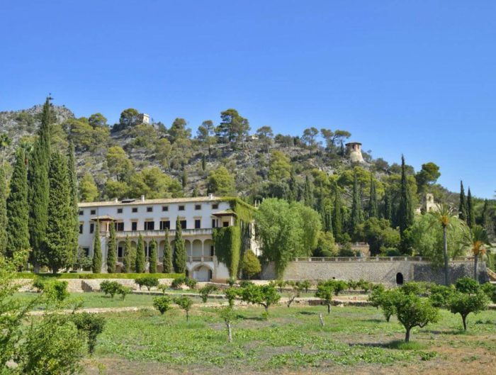
The Parc Natural de la Península de Llevant, in Mallorca, offers a choice of interesting walks with different levels of difficulty.
We chose a particularly scenic option for families with children used to mountain walking: the Establits de s’Alqueria Vella circular walk, near Artà.
Along the way there are wide views over the s’Alqueria Vella valley and Alcúdia Bay, as well as a distinctive view of Ermita de Betlem —bring binoculars— and the residential area of Betlem.
The park covers more than 17,000 hectares of land and sea. This walk is in the Artà area, so those of us travelling from Palma need to allow for the journey there and back when planning the day. We recommend bringing food and water to enjoy an unhurried outing.
We follow waymarked route 10 from the car park. The official Establits route description gives a distance of 3.4 km and a time of 90 minutes; our family took around 110 minutes. Allow extra time for stops and the optional detour to the hermitage.
The path is rocky and steep at the start, so we recommend suitable walking shoes or boots. We use boots from the Mallorcan brand Bestard and have been very happy with them.
They can be bought online or at the brand’s shop in Lloseta, where we bought ours.
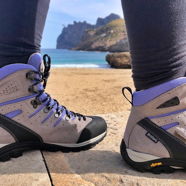
An ordinary family walk here does not require an advance permit. Organised or commercial activities have separate conditions. Check the official park notices and rules before visiting. Dogs are not allowed on this route.
Starting the walk at s’Alqueria Vella
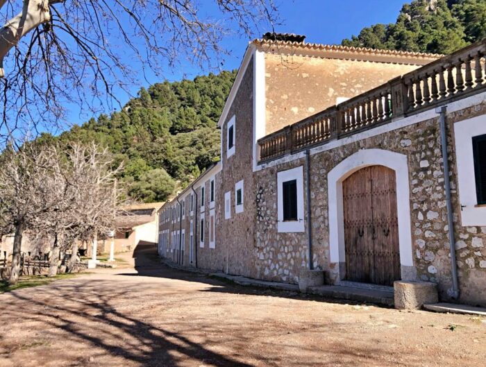
The park’s visitor information centre is at s’Alqueria Vella de Baix. The car park here is the starting point for our walk. On our visit there were also wooden picnic tables and public toilets.
To reach the car park, take the Ma-3333 road from Artà towards Ermita de Betlem and turn right at kilometre 4.7.
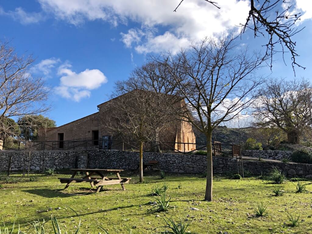
The trail starts close to the car park, where you will see the signs. You can also walk to Ermita de Betlem from here in roughly 45 minutes, depending on your pace, as the routes initially share part of the same path.
Look for a wooden GR 222 signpost: we share this long-distance trail for a short stretch. On our visit it gave 1 hr 30 min to Betlem —the residential area— and 2 hr 50 min to s’Arenalet d’Albarca. These are times to other destinations, rather than the duration of our circular walk.
The GR 222 is one of Mallorca’s long-distance trails, alongside the GR 221. GR stands for the Spanish «Gran Recorrido», meaning a long-distance route.
The Artà–Lluc GR 222 route is planned to connect the Serres de Llevant with the Serra de Tramuntana and Lluc Sanctuary. Some sections are open, while others remain planned or unmarked, so do not assume the entire route is available to walk.
The climb and the hermitage junction
After about 160 metres, you reach a junction with a large wooden gate on the right. Continue straight ahead on the path signed towards the hermitage and start climbing gradually. We return through the large gate at the end of the loop.
Follow the path and the signs for route 10. We found it reasonably well waymarked, but pay attention at junctions.
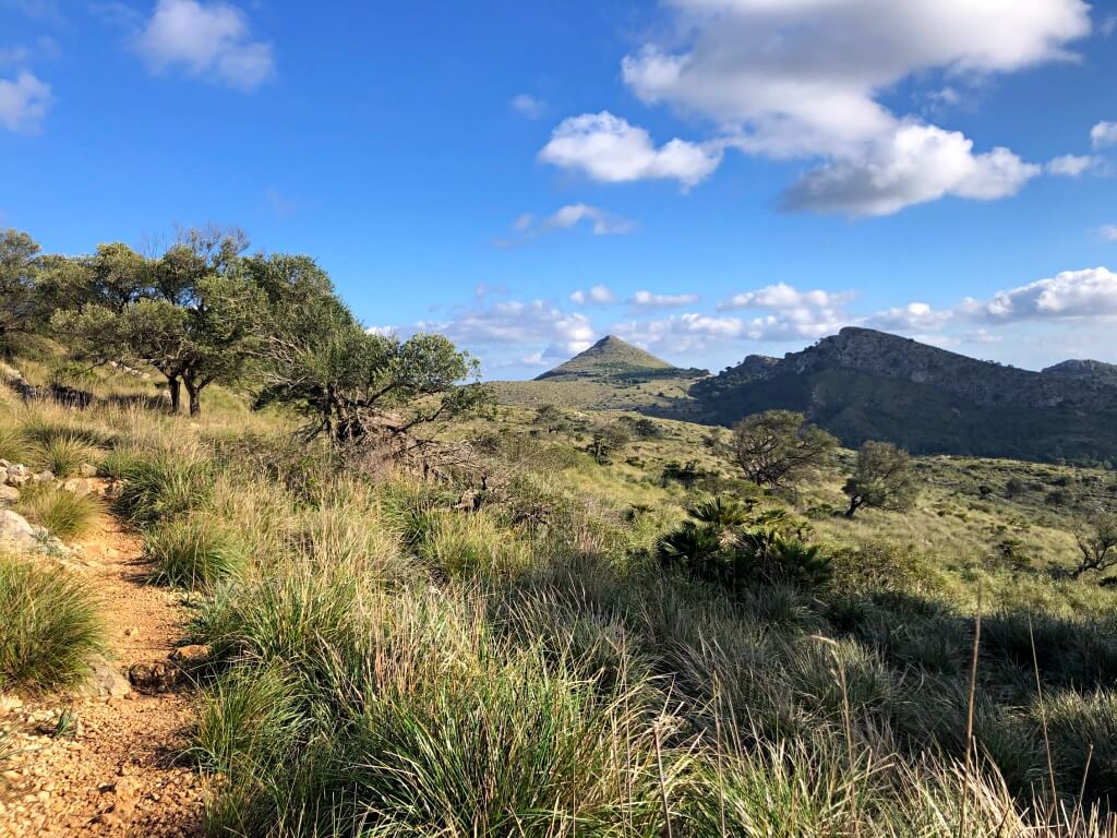
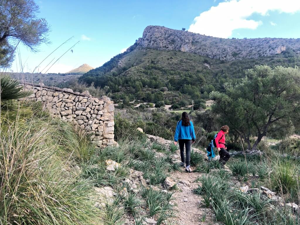
This is an open landscape with few trees, plenty of càrritx —a tall, tussock-forming grass— and the distinctive dwarf fan palms that look like miniature palm trees.
As you climb, the views over the s’Alqueria Vella valley and the surrounding hills become increasingly rewarding. The almost conical Puig des Porrassar stands out: we admire it from the path, without climbing its summit on this walk.
Shortly before the highest part of the walk, you reach the junction in our photo: straight ahead leads to the hermitage; turn right to continue on route 10.
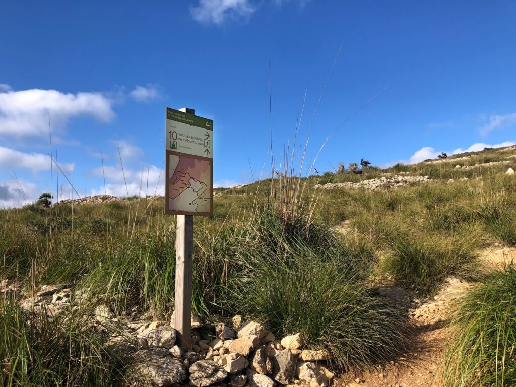
Here you can decide whether to visit the hermitage, roughly 20–30 minutes one way from this junction, or continue the loop. We chose to carry on with our circular walk. If you add the hermitage, allow time to return to the junction as well.
The highest point and views over Betlem
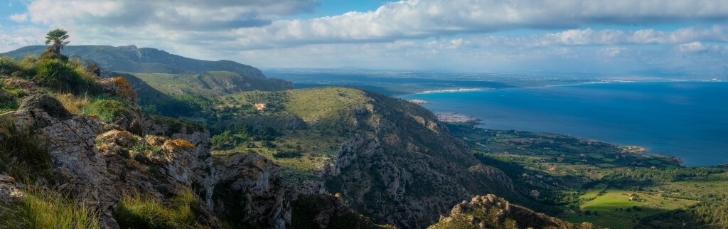
A few minutes later we reach the highest part of our route and a spectacular panorama. Below us are Betlem and its houses; the hermitage is to the left, with Colònia de Sant Pere and Alcúdia Bay also in view.
This is an ideal place to stop for photos and a snack before continuing, this time downhill.
For the descent, take the path on your right as you face the sea. Follow the circular route signs back towards s’Alqueria Vella and the car park.
Take care on the descent, as some stretches have stones that can be slippery.
On the way down you pass through a small wooden gate. Soon afterwards the route can be a little confusing: the path runs directly in front of a ruined stone hut, as shown in our photo. The building is a useful landmark for finding the continuation of the path.
Eventually you join a forest track. Follow it towards the car park, passing through the large wooden gate seen near the start, and return to your car.
Why the name Establits? In the mid-19th century, these lands were divided into plots for an attempted agricultural colony. The history of s’Alqueria Vella helps explain the plots and buildings we encounter along the walk.
Establits circular walk facts
Frequently asked questions
How long is the Establits circular walk?
The route is 3.4 km long. The official estimate is 90 minutes and our family took around 110 minutes. Allow extra time for stops. The optional Ermita de Betlem detour is excluded from these figures.
Is this walk suitable for children?
We recommend it from around age seven for children used to mountain walking. There is a climb and rocky ground, so we rate it moderate. It is unsuitable for pushchairs and we do not recommend using a baby carrier.
Can you take a dog on this walk?
No. Route 10 crosses s’Alqueria Vella, one of the park’s estates where dogs and other pets are prohibited.
You might also like