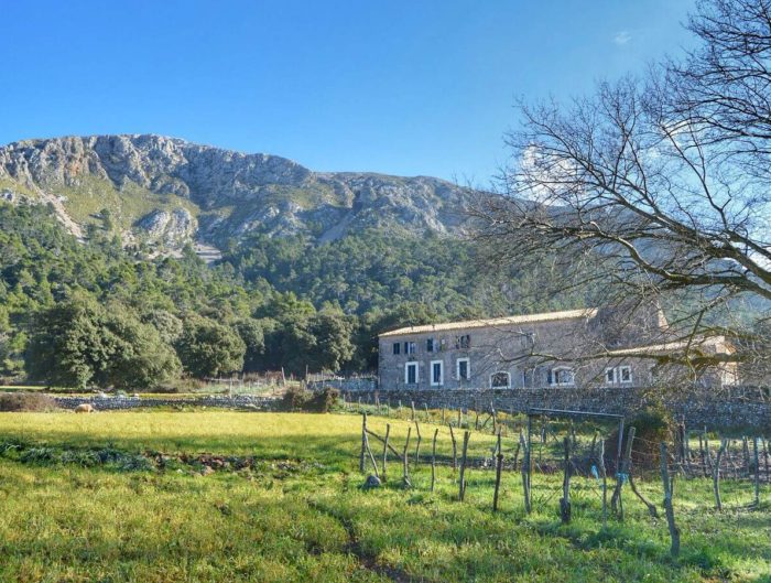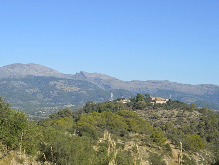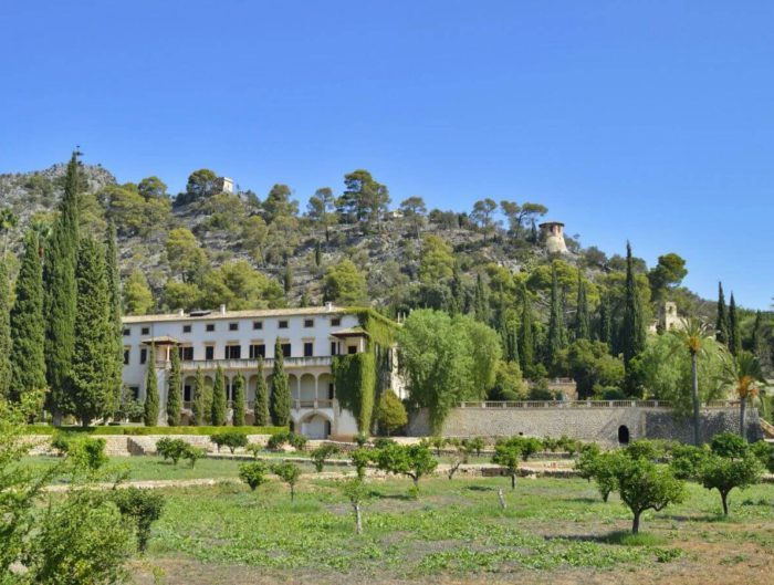
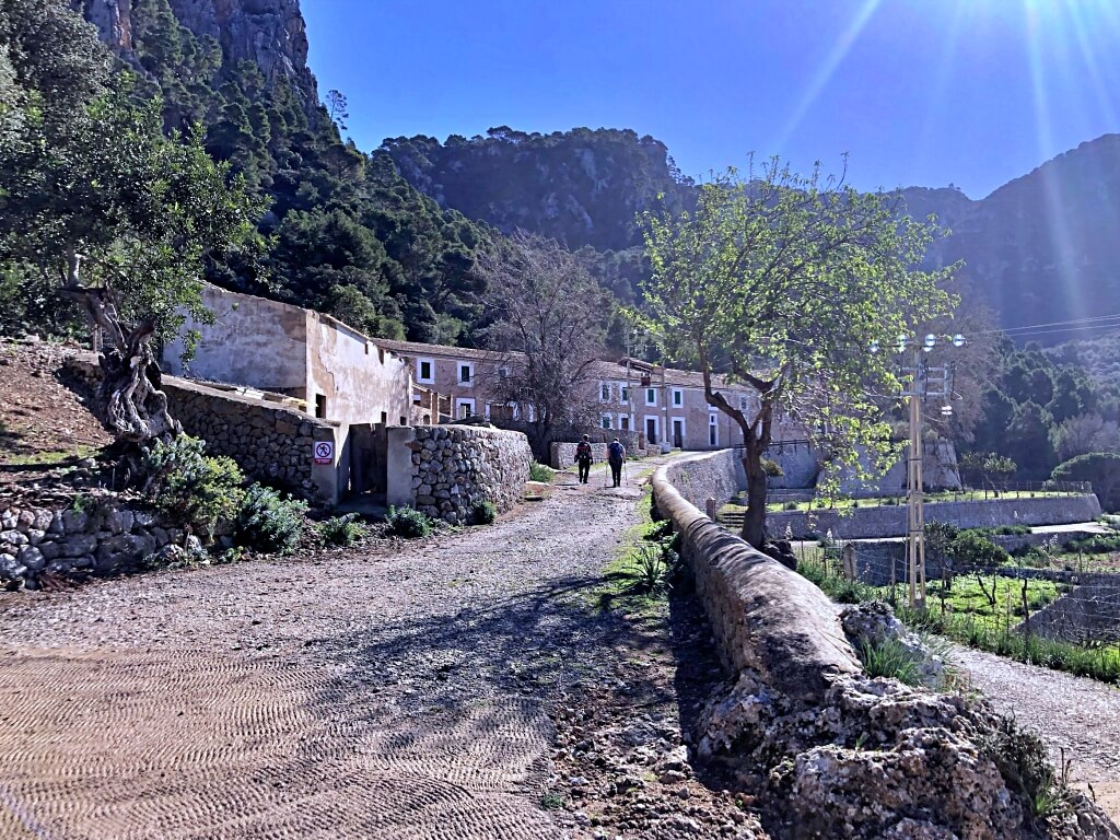
This walk to the Planícia public estate from Banyalbufar combines an out-and-back approach with a short loop in the estate, within the Serra de Tramuntana natural landscape. We climb along the Camí des Rafal and Camí Antic de Planícia, explore the surroundings of the houses and return via the Font de s’Obi spring, also labelled Font de l’Obi.
Pay close attention to the directions: on our visit, some junctions made it easy to continue towards a different destination. We keep the signposts, gates and wooden crossing steps as landmarks to help you return to the start. Since 2011, we have aimed to help families explore with information based on our own walks.
About the Planícia public estate
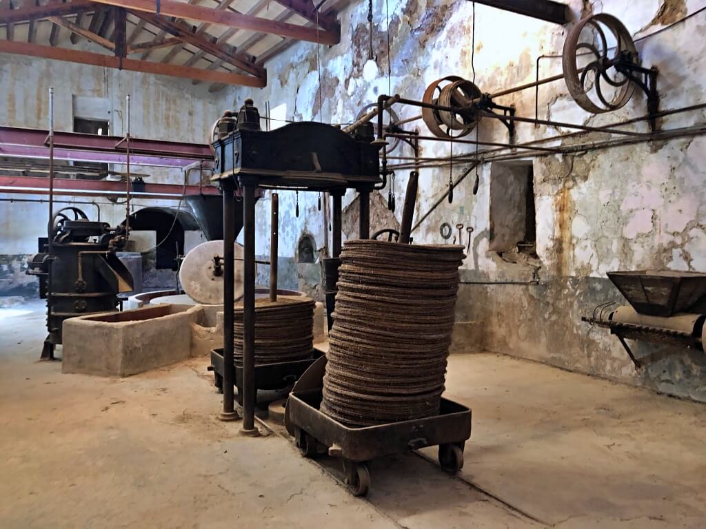
The Planícia public estate (official information in Spanish), in the municipality of Banyalbufar, was purchased by the Balearic Government in February 2009. Its official information gives an area of 442 hectares. The landscape combines holm-oak woods, olive trees, carobs, pines and traditional dry-stone agricultural terraces, or marjades, with lovely examples along our route.
Families and older adults accustomed to walking can enjoy this outing, allowing for its roughly ten kilometres and initial climb. Its appeal lies in following the paths of an old agricultural and woodland estate.
The holm-oak woods preserve a remarkable concentration of charcoal-burning platforms, or sitges, charcoal burners’ huts, bread ovens and lime kilns. Documentation records over 150 charcoal platforms and up to seven lime kilns: reminders of the trades that used the forest before it became a destination for walkers.
Visiting the houses and available facilities
The estate can be explored throughout the year, subject to access and conservation notices. Entry to the houses and availability of toilets depend on which facilities are open. The official natural-landscape information (in Spanish) describes preparations for displays in the olive press and plans for a mountain refuge in the Ses Collidores houses; do not count on an operating museum or overnight accommodation.
We were fortunate: an IBANAT staff member showed us several rooms and a well-preserved olive press. The present group of houses is dated to 1724. We appreciated this opportunity, but it was not a service with fixed visiting hours that we can promise. The walk and views outside are worthwhile in themselves; bring water and food without relying on facilities.
Starting from Banyalbufar: parking and Camí des Rafal
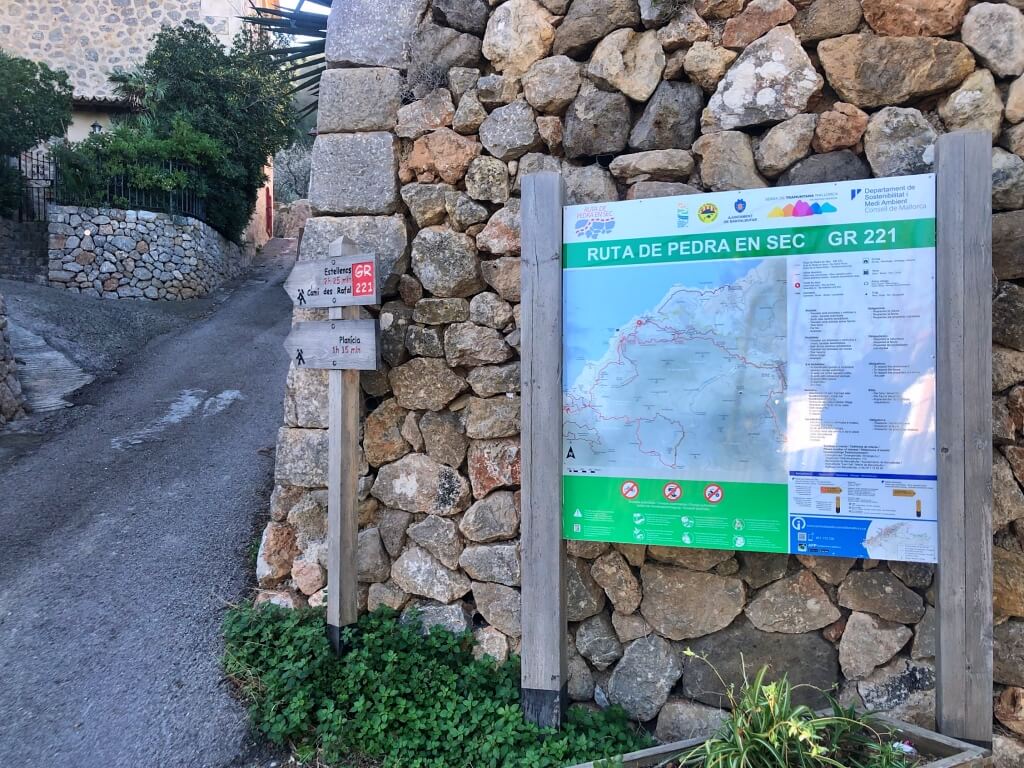
We start at the Ca’n Toios or Ca’n Toyos municipal car park, near the exit from Banyalbufar at approximately km 87.3 of the Ma-10. This is the car park we used as a landmark, on the right when leaving the village. The council lists it as free (information in Catalan); other municipal car parks have regulated parking. Follow the signs where you leave your car.
Leave the car park to the left and cross the road carefully. Opposite is an uphill lane with a map and two wooden direction signs. On our visit, one read “Planícia, 1 h 15 min”. That is a reference for reaching the houses, not the duration of our complete walk.
Take the Camí des Rafal, also known as Camí de sa Costa. The first section is the most demanding because of the climb: it begins as a surfaced lane between houses, then becomes a stone path. Wear comfortable hiking footwear with good grip.
Continue uphill to a gate with several hunting-ground notices. The council’s walking itinerary follows this path towards Es Rafal and Planícia. Use the designated pedestrian passage and stay on the path, without entering the surrounding properties.
A few minutes later, reach the Es Rafal houses. The gradient eases and the walk becomes particularly attractive, overlooking the terraces and sea. On our visit, two direction signs confirmed the way.
The four-sign junction and Camí Antic de Planícia
We reach two junctions very close together. At the first is a post with four direction signs, one pointing to Planícia. Head towards the post with two signs slightly higher up and take the Camí Antic de Planícia, with a little more climbing. From this link, we allowed roughly 30 minutes to the houses.
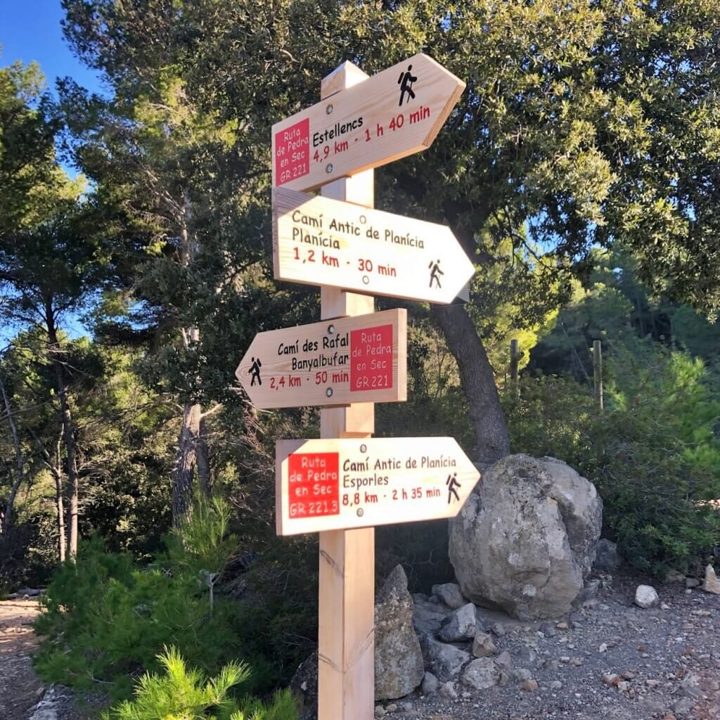
The photograph shows the four-sign post as a landmark. Look for the destination Planícia: other places are also signposted at this junction. Continue following the small arrow waymarkers or fites. The houses appear in the distance and we reach them a few minutes later.
The Ses Collidores houses and the Planícia manor
First pass the Casa de ses Collidores, also called Ses Dones, which housed women hired to gather the olives. Some came from other municipalities with their young children. The olive groves on the approach help explain the importance of this work.
Beside it stands the old manor house, with a wide open area and a wooden bench. The houses are at around 420 metres above sea level, with magnificent views towards the coast. It is a good place to rest before starting back.
Other estate itineraries: options for a separate visit
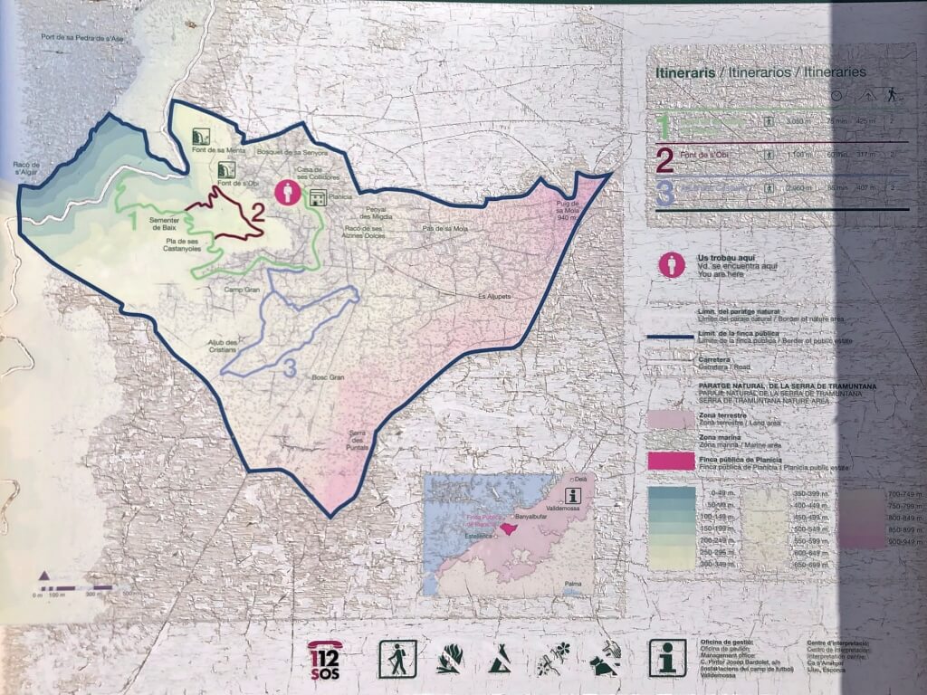
Before reaching the houses is a panel showing three estate itineraries. For us, the approach from Banyalbufar is already a good outing; on the return we use only parts of the house and spring routes. These other options can help you plan a separate or longer visit:
Camí de les cases de Planícia
The route to the houses starts at the estate entrance at km 90.2 of the Ma-10. It offers coastal scenery and, depending on position and visibility, views towards Banyalbufar, Estellencs, sa Dragonera, s’Esclop and Galatzó. Its starting point differs from our walk out of the village.
Font de s’Obi
The spring itinerary reaches a channel and a stone livestock trough. An obi is a container for animals. The amount of water depends on rainfall; the spring may be dry and should not be relied on for drinking water.
Aljub dels Cristians
The cistern itinerary enters the holm-oak wood and visits a dry-stone water-storage structure and other reminders of woodland work. It is a moderate route that we do not complete on the return described here.
Returning past the notable pines and Font de s’Obi
From the open area beside the main house, walk back towards the exit and itinerary panel. Take the downhill path immediately on your left; continuing straight would retrace the outward route.
This section belongs to the house itinerary, but we use it only to link with Font de s’Obi. The broad, pleasant path passes below the estate buildings, leaving the houses behind us.
Soon the Pins de Planícia stand out, with their identification plaque. They were listed as notable trees in 2004. The Species Protection Service’s record (in Catalan) describes the listed group as four stone pines whose crowns join into one broad canopy.
Stay on the path. On the left is the start of itinerary 3, Aljub dels Cristians: do not take it. Continue downhill to a gate with wooden crossing steps on its left, which we use to get across.
Beyond is a broad field with sheep feeders. Cross it along the same track to a second set of wooden crossing steps. Cross these too and continue to another junction.
At this junction, turn right onto itinerary 2, Font de s’Obi. There was a large sign on our visit. Shortly afterwards, reach a small shelter with an outdoor wooden table; the spring and drinking trough are a few metres away.
The key turning after the spring and the return to Banyalbufar
After the spring, continue straight ahead to return to the four-sign junction. This is the important point to remember: do not take the downhill turning on the left, which leads towards Estellencs, although the signs we saw did not make that destination clear. We are still heading back towards Banyalbufar.
Before the junction, pass through a tall metal gate bearing a no-cycling sign. At the four-sign post, look for Banyalbufar via the Camí des Rafal, then descend the familiar section back to the car park.
This completes the route: the Camí des Rafal is shared by the outward and return legs, with a different section through Planícia. If a link is unclear, you can return from the houses along the same path used on the way up, instead of improvising another descent.
Other walks near Banyalbufar
For another outing nearby, see the Camí des Correu between Esporles and Banyalbufar or sa Volta des General towards Port des Canonge. These are separate walks: choose whichever suits your family’s time and walking experience.
Planícia walk fact sheet
Frequently asked questions about the Planícia walk
Where does this Planícia walk start?
Our walk begins at the Ca’n Toios or Ca’n Toyos car park beside Banyalbufar, around km 87.3 of the Ma-10, and climbs via Camí des Rafal. The official estate entrance at km 90.2 is a different starting point and should not be confused with this route.
Can you visit inside the Planícia houses?
The estate can be explored throughout the year, but we do not guarantee open indoor rooms or toilets. On our visit, an IBANAT staff member showed us some rooms and the olive press. Ask the natural-area staff in advance about the possibility of an interior visit.
Is this walk suitable for young children or a pushchair?
Our suggested age is from 7 years for children accustomed to walking, on a route of roughly 10 km. It is unsuitable for pushchairs, and we do not recommend a baby carrier for this outing because of the distance, climb and wooden crossing steps on the return.
You might also like