This circular walk through Muntanya del Voltor starts in Valldemossa, in Mallorca’s Serra de Tramuntana. Along the way we visit the Ses Puntes viewpoint, Sa Talaia Vella and the small historic mountain shelter near its summit.
You need to request permission from the Muntanya del Voltor association before doing this walk. The association manages access and works to restore the estates’ habitats and heritage. Limiting visitor numbers helps protect the area while allowing people to enjoy walking here, an approach we appreciate.
Permission depends on availability for your chosen day. We recommend contacting the association at least four days ahead to allow time for a reply. Provide the date and the names of everyone in your group, including children, and wait for confirmation before setting out. When booking, also confirm access hours and the current conditions for your group.
Contact the association by WhatsApp at +34 619 59 19 85 or email info@muntanyadelvoltor.com. The published booking enquiry hours are Monday to Friday, 09:00–14:00. These are administrative hours, so confirm separately when you may start and finish your visit.
Before you set out
Wear suitable walking shoes with a substantial sole and good grip. Lightweight footwear with enough room between your big toe and the end of the shoe is more comfortable on a walk like this.These tips came from Mallorcan walking footwear specialists Bestard, and we have found them helpful.
Starting the Muntanya del Voltor walk
Start at the end of Carrer de les Oliveres in Valldemossa. Look for the stone path to the left of a driveway. Check current parking signs and keep access to homes and estates clear. If there is no permitted space in the street, use a designated car park in Valldemossa and walk to the start.
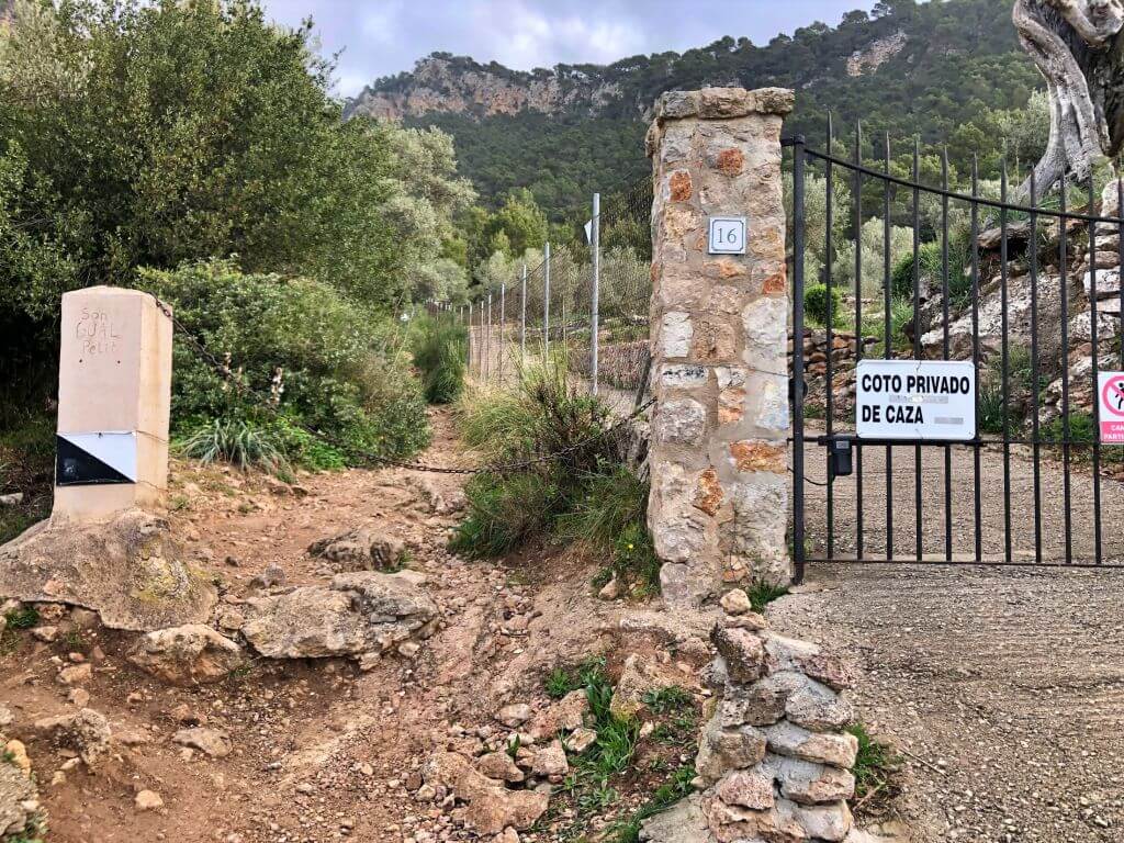
The starting point is the same as for our Ses Basses and Son Gual viewpoints walk. The routes are different. This circular walk goes through Pla des Pouet and Ses Puntes and requires permission. Our other guide explains the out-and-back option on Camí de ses Basses and the permit needed to return via Pas d’en Miquel.
A few metres up the path you will see an information board with a map showing the different routes through the area.
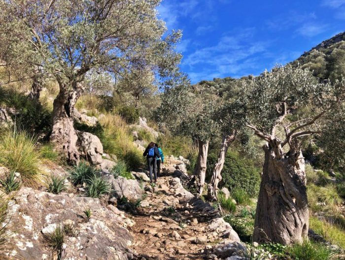
Continue uphill for a few minutes along a very rocky path, initially beside Torrent de Son Gual. You will reach a gate and an information hut, with an uphill path ahead and another access path on the right.
Have the booking name ready in case the staff at the hut ask for it. For this walk, continue straight up the path behind the hut. The right-hand turn is Camí de ses Basses. Follow any current instructions given by staff.
Towards the Ses Puntes viewpoint
This is a moderate mountain walk, with a rocky climb and junctions that need attention. Waymarking was uneven when we visited, although the person managing access took time to explain the route. Read through the directions before starting and follow the current signs.
The first stretch climbs steadily. Follow the uphill path for about 30 minutes, passing between two stone walls before reaching a clearing.
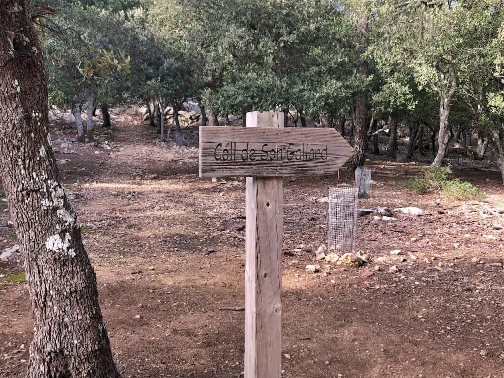
On the left you will see a low stone wall and a wooden arrow marked “Coll de Son Gallard”, shown in our photo. Follow the signed path to the right towards Pla des Pouet, where the circular section begins.
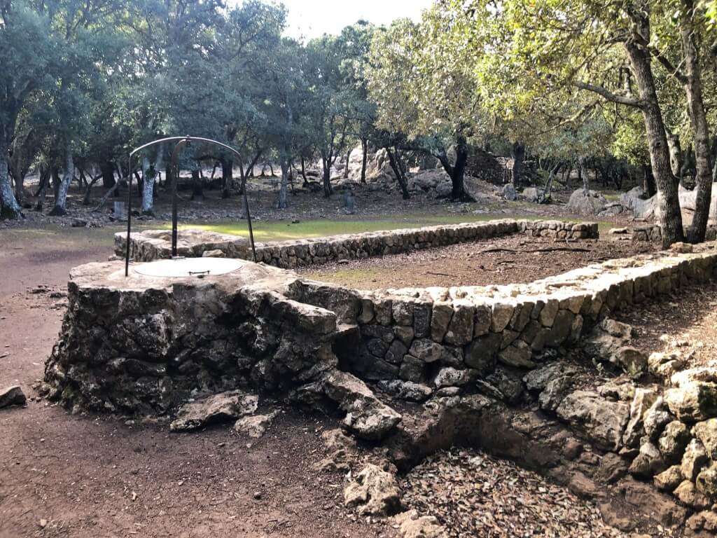
About a minute later you reach Pla des Pouet, a clearing among holm oaks that is easy to recognise by its large stone well.
Here we find two signposts. Take the left-hand path towards the Ses Puntes viewpoint. The right-hand path is the one we will return along later, completing the loop.
Keep climbing as the views open up and the path follows the mountainside.
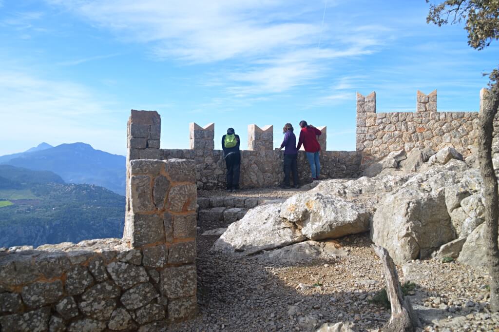
After about 30 minutes you reach the spectacular viewpoint created by Archduke Ludwig Salvator. It is one of our favourite viewpoints in Mallorca, with two levels and pointed battlements that make it feel like a small castle. Enjoy the views with children close by and keep off the walls.
This is a good place to stop for a snack and recover your energy. The walk continues, with more places to discover ahead.
Sa Talaia Vella and the Archduke’s shelter
Continue climbing towards Sa Talaia Vella. The square white pillar identifies this point: it is one of the surveying markers found on many of the island’s summits.
Geodetic markers are reference points in a surveying network. Traditionally, triangulation between them helped surveyors produce topographic maps.
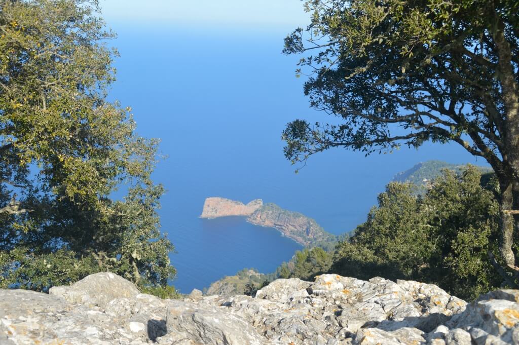
From here you can see Palma, with its Cathedral looking tiny in the distance, and Sa Foradada on the coast.
A few minutes further on, we reach Refugi de s’Arxiduc, a restored stone shelter with an open area and views towards Deià, Port de Sóller, Torre Picada and Puig Major. It was built in 1907 at the Archduke’s initiative. Treat it as a historic landmark on this walk and plan independently of access to its interior or overnight facilities.
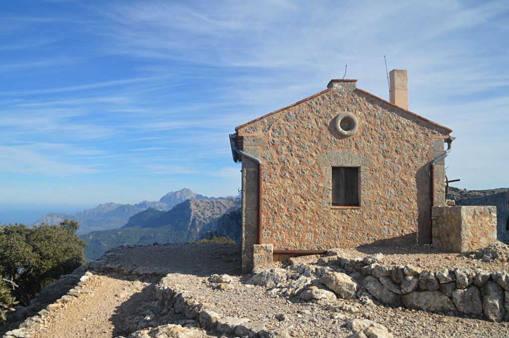
This is the highest part of our route and the start of the return leg.
Now follow the path downhill. At last! Soon you reach Coll de Son Gallard, where a stone bench and a walking map are on your left. Take the path descending towards Pla des Pouet, without continuing towards Camí de s’Arxiduc. Allow roughly an hour from this saddle back to the village.
The scenery is similar to the ascent, with traditional mountain features along the way. At Pla des Pouet, rejoin the path used on the way up. Follow it downhill past the access hut to your starting point.
Optional detour to the Na Torta viewpoint
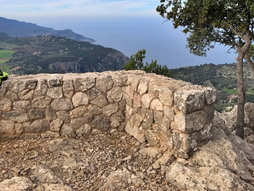
If you have time and energy left, there is an optional detour to the Na Torta viewpoint. We leave it outside the main loop because we found the final stretch confusing.
Before reaching Pla des Pouet, we mentioned the wooden arrow marked “Coll de Son Gallard”. Just behind it we found an uphill path leading towards this other viewpoint.
We reached the viewpoint in just under 30 minutes. It is smaller than Ses Puntes and has attractive views over Valldemossa and the surrounding hills. This detour adds time to the main walk.
We found the final stretch confusing and it is easy to take the wrong path. We include the description because we arrived here by mistake while trying to reach Ses Puntes. If you want to add the detour, ask Muntanya del Voltor staff about access and retrace your steps if you lose the path.
Is it worth seeing? Yes, but the Ses Puntes and Sa Talaia Vella loop already makes a rewarding walk on its own.
Muntanya del Voltor circular walk facts
Muntanya del Voltor walking FAQs
Do you need a permit for the Muntanya del Voltor walk?
Yes. The circular route via Pla des Pouet, Ses Puntes and Sa Talaia Vella enters the managed-access area. Request permission by WhatsApp at +34 619 59 19 85 or email info@muntanyadelvoltor.com and wait for confirmation.
Is the walk suitable for children?
We recommend it from around age seven for children used to mountain walking. It is a moderate route with slopes, rocky ground and elevated viewpoints. It is unsuitable for pushchairs and we do not recommend using a baby carrier.
How long is the circular walk?
The main route described is approximately 7 km and takes around 2 hours 30 minutes of walking, plus stops. The optional Na Torta viewpoint detour is excluded from that estimate.
Advertisement
You might also like